

Documents#
Deliver PDF and KML documents pertinent to your organization or specific documents for an Aerodrome you fly at.
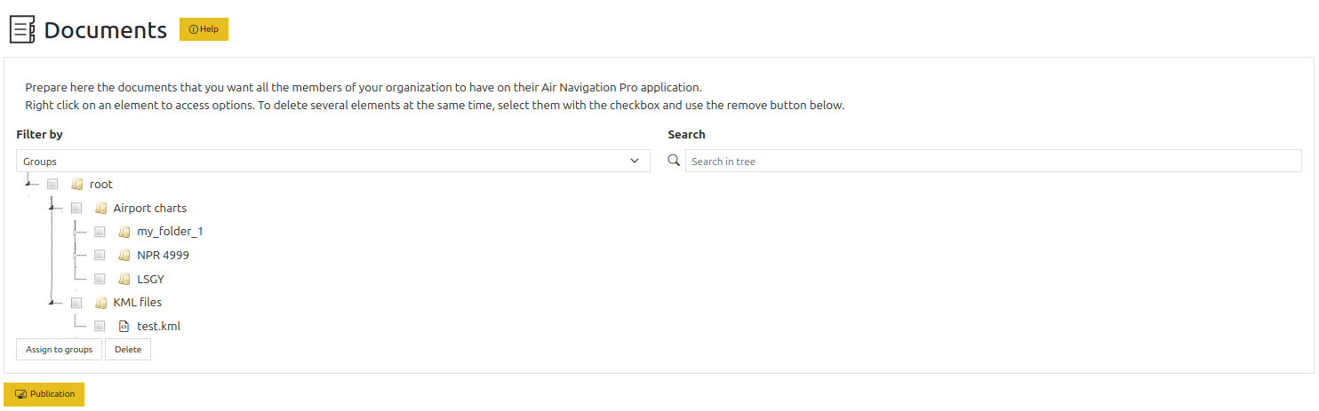
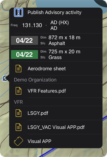
Document viewer in Air Navigation Pro#
Access#
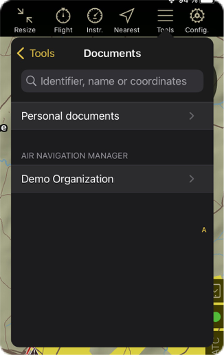
Actions#
Add folder and files#
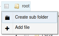
By right-clicking on a folder, you can add files to that folder. New folders can be created at the root level and inside the Airport charts folder.
When adding a file, you have the following form presented:
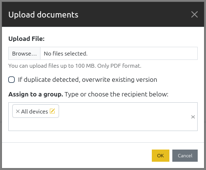
You may register multiple documents at once. You have the option to replace existing documents as by default the service will refuse to register any file if one with the same name in the same folder already exists.
You have the possibility to set the data group for the documents. The default group, if it exists, is preselected.
Download and remove#
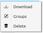
By right-clicking on a file and folder, you may perform several actions on it.
For documents#
You may download a file, change its data groups and delete it. Changing groups presents you the following view:
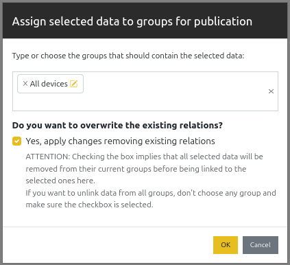
The document’s groups are pre-selected. Click on  to unselect one, or on
  on the
right of the menu to unselect all.
on the
right of the menu to unselect all.
For Folders#
You may add a sub folder, download a CSV list of the folder contents, download the folder contents as a ZIP file, or remove a folder. The root, Airport charts, and KML files folders may not be removed. When deleting a folder, all the contents are removed.
See below for details about the Airport charts usage.
Note
It is not possible to assign a folder to a data group. Documents need to be individually assigned.
For both#
You can also ‘bulk’ delete items by selecting their checkboxes and clicking on  .
.
You can drag files and folders in the tree to reorganize them. KML files can only be moved under KML files; airport chart folders can only be created under Airport charts.
Search#
You have the possibility to look for folders and files by using the search option above the document tree view.
Link documents to waypoints#
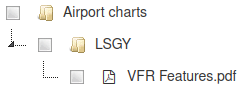
To make documents specific to an aerodrome and show them in the airport selector, create a folder with the ID of the airport inside the Airport charts folder.
It is also possible to add documents to a waypoint directly from the waypoints editor.
Bulk upload airport charts#
You can upload several airport chart PDFs at once by adding a ZIP file to the Airport charts folder. ZIP uploads are only available in this folder because each PDF must be linked to an existing waypoint.
The ZIP file can use either of these layouts:
all PDFs at the ZIP root, named with the waypoint identifier followed by a hyphen, for example
LSGG-approach.pdfandLSZH-ground.pdf;one folder per waypoint, with PDFs inside that folder, for example
LSGG/approach.pdfandLSGG/ground.pdf.
Do not mix both layouts in the same ZIP file. The upload is rejected if an entry is more than one folder deep,
contains hidden path components such as .DS_Store or .., uses backslashes or absolute paths, or if a PDF
does not start with valid PDF content.
Each waypoint folder name or flat-file prefix must match an existing waypoint identifier in the group. If a waypoint folder does not yet exist under Airport charts, it is created automatically. Existing documents are not replaced unless you select the replace option in the upload form.
Once a data group snapshot is created and synchronized on the devices, the waypoint popup will show the documents.
KML Support#
Similarly to the Airport charts above, there is a KML files folder in which you may place your KMLs. Then, after publication the files will be loaded in the app.
Note
KML files are distributed through data groups like the other documents. KML placemark names can be hidden with the device settings profile option for KML files.
Warning
KML files produced with Google Earth on the web contain invalid styling (as the feature used is not documented), so after import the shapes will be opaque grey with a black outline. To fix the issue, you must edit the file and follow the instructions at https://stackoverflow.com/a/71744678